Forestry
Canada has 9% of the world’s forests, over 347 million hectares (ha). Forests dominate many Canadian landscapes but cover only 38% of Canada’s land area. Manitoba has 36.35 million ha of this and other wooded areas - approximately 57% of the land base. Approximately 95% of Manitoba’s forests are provincial Crown land, while only ~3% is private land and ~2% is federal land. Managing such vast stretches of land, forestry projects can be incredibly time-consuming and challenging because some areas are densely populated and make it difficult to survey the land entirely on foot. Inspections are time-consuming and laborious, sometimes taking days to complete. Then, are always inaccuracies for inventory management, fertilizing the trees, and infestation.
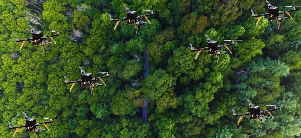
In recent decades, remote sensing techniques applied in forestry have been given increased attention, which has a range of benefits such as reduced costs, flexibility in time and space, high accuracy data and the advantage of no human risks. It is essential to mention that forest fire monitoring and management is one of the first applications of the drone in forestry. Furthermore, it can also be used for mapping forests and biodiversity, precision forestry and sustainable forest planning management (canopy cover, number of trees, volume estimation, vitality or composition of stands), mapping canopy gaps, and measuring forest canopy height and attributes.
Cabook Solutionology Inc. will use more intelligent drones with extended autonomous functionality and recognize problems themselves through integration with advanced computer vision and machine learning techniques. To achieve the goal, we will focus on preparing databases in various applications and works related to forestry, which is the infrastructure of each application in computer vision—With the advantage of our intelligent drones and comprehensive trained deep learning models, we provide actionable insights based on precise, accurate and frequent observations of the trees.
